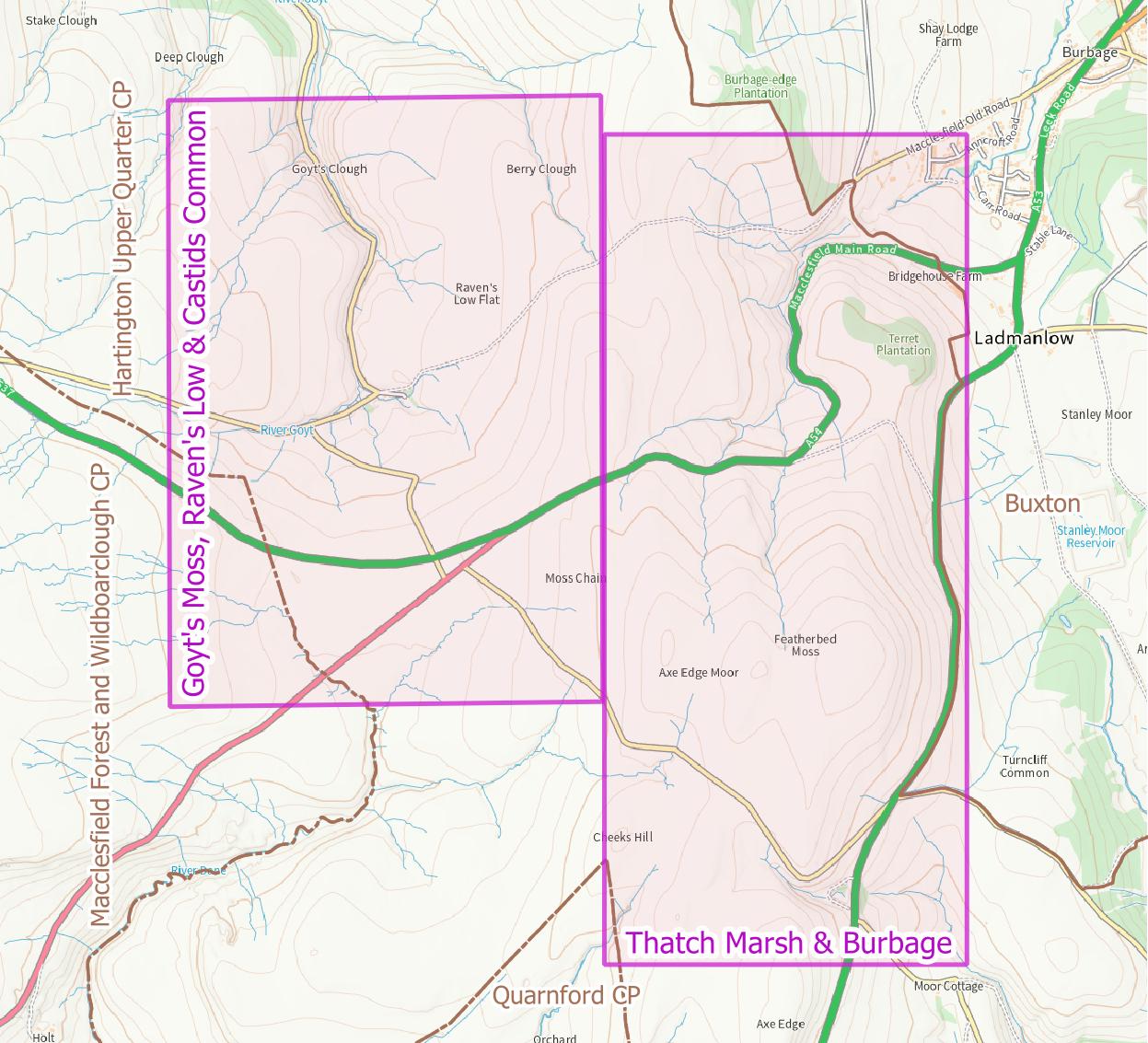
This field guide contains itineraries above Burbage, at Thatch Marsh and Cisterns Clough, and in the upper Goyt Valley near Derbyshire Bridge. It describes various mining history surface features, and a little of the relevant history and geology. These are not “walking guides”.
The main download is a zip file which contains a written field guide, maps, and digital location data for GPS devices.
- Main zip bundle (10MB)
- MBTiles mas (see the guide for copyright information)
- General map for use with the guide (10MB)
- Lidar hillshade with geological overlay (43MB)
If you make use this guide, please let me know by adding a comment. You can also post corrections and suggestions (but please note I am unlikely to respond to requests for more information).
Links to all mining history field guides may be found on the Peak District Mining History Field Guides index page.